The Department of Agriculture (DA) is looking to space technology to sharpen farm and fisheries management, tapping satellite data to raise productivity, strengthen climate resilience, improve irrigation planning, and speed up disaster assistance for farmers and fishers.
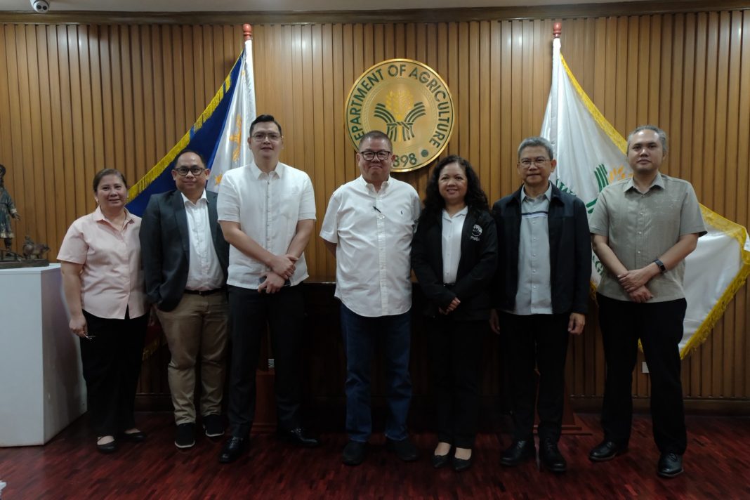
In a strategy meeting with the Philippine Space Agency (PhilSA), Agriculture Secretary Francisco P. Tiu Laurel Jr. laid out the DA’s vision of combining satellite intelligence with boots-on-the-ground validation to modernize Philippine agriculture as directed by President Ferdinand Marcos Jr.
At the top of the agenda was flood mapping. Tiu Laurel asked PhilSA to identify where floodwaters naturally flow and accumulate during heavy rains so excess water can be harvested and reused for irrigation instead of draining into rivers and the sea.
“Every drop of water we save is another opportunity to increase production and reduce our dependence on imported food,” Tiu Laurel said. “If we understand where floodwaters naturally go, we can turn a recurring problem into a valuable resource for irrigation.”
He said that satellite data could help the government replicate canal systems similar to those used in Vietnam, allowing rainwater to be stored and redirected to farms during dry months.
The DA also wants to expand the use of satellite monitoring beyond rice and corn.
PhilSA informed Tiu Laurel of the agency’s DigitalAgri Project that already tracks farm-to-market roads, corn, and onion production.
Tiu Laurel told PhilSA representatives that the DA also needs monitoring for vegetables such as carrots and cabbages to help anticipate oversupply and stabilize farmgate prices.
The discussions likewise covered satellite monitoring of crop pests and diseases, drought, floods, soil moisture, greenhouse gas emissions, and even water quality in Laguna de Bay, where the DA is exploring whether space-based imagery can help detect pollution linked to recurring fish kills.
For municipal fishers, the DA and PhilSA are exploring satellite-based fishing grounds mapping that could provide free information on productive fishing areas, wind conditions, and ocean currents.
The collaboration could also transform agricultural insurance. PhilSA said satellite-derived flood, drought, and crop health indicators can support parametric crop insurance, allowing faster and more objective assessment of damage and quicker payouts to affected farmers and fishers.
To ensure satellite data translates into action, Tiu Laurel said the DA will deploy about 1,000 personnel nationwide by year-end for field validation.
The initiative signals the DA’s growing shift toward precision agriculture, where decisions on irrigation, infrastructure, and protection, and disaster response are increasingly guided by data gathered hundreds of kilometers above the Earth.